Category: new denver
Butters
Butters is rapidly becoming one of the most popular mountain bike trails in the Slocan Valley. Access is up a steep logging road which if you are not super fit you should definitely consider shuttling this one. The climb is relentless and a little rocky. Take the first left to access lower Butters which is a little steeper and technical than Upper Butters. Lower Butters is mostly blue with some black diamond sections. Upper Butters starts from the second left and is nice and flowy. Small signposts at the trailheads but helpful to have the GPS trail information particularly for accessing the top of lower butters.
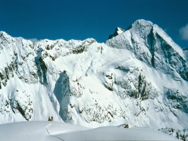
London Ridge
Location: Bear Lake on Hwy 31A.
Time: Full Day
Distance: 5 km
Elevation Gain: 1000m (3,500 feet)
Map: 82
Avalanche Exposure: Complex
London Ridge is a popular early season destination for the south facing alpine slopes. There are also some huge north facing runs on the Kane Creek side of London Ridge. Park at Bear Lake parking area and cross the road and ascend the old mining roads through the trees until reaching sub-alpine and very steep and exposed terrain with few safe options. There are some alternate options accessing London Ridge through the same access as Whitewater Creek trail.
Beaver Lake Rec Site
This beautiful lake is found in the narrow valley of Fitzstubbs Creek, backed by the 2300 m peaks of the Nakusp Range. It is popular with family groups, as it offers something for everyone. The level sites beneath trees are suitable for tents, campers or trailers. Long weekends find folks coming from far and wide to gather for reunions, do some fishing for Kokanee and rainbow trout, swim, bike ride, play bocce and horseshoes. For those who want to get away from the crowds, a small hidden lake joined to Beaver Lake by a narrow stream, is accessible by canoe. Canoeists will also find the inlet and outlet stream interesting. Mountain biking on the Wilson Creek Forest Service Road is popular. Keep your eye open for wildlife coming down to the creek for water. Boating restriction: electric motors only. 8 campsites and a boat launch.
Driving Directions:Turn off Highway 6, at Rosebery, onto the “East Wilson Creek Road”. This road soon turns into the “Wilson Creek Forest Service Road”. Follow this good 2 wheel drive gravel road. At 5 km the road forks, stay left. Just before the orange and white 20 km marker, turn left at the “Beaver Lake Recreation Site” sign onto a good 2 wheel drive dirt road. Follow this road for 400 meters to the campsite.
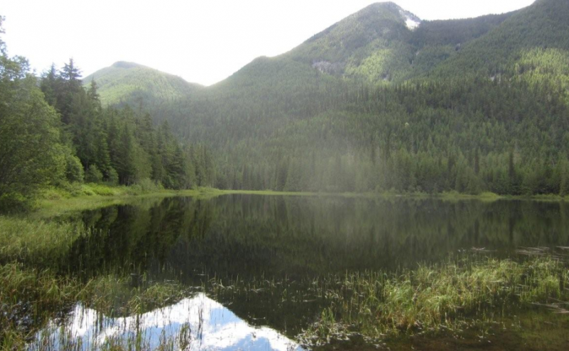
Little Wilson Lake
The drive up the Wilson Creek Forest Service Road is very scenic offering views of a cascading water fall at the 28 km marker and opportunities to do a little fly fishing all along Fitzstubbs Creek, which the road parallels. Little Wilson Lake, surrounded by high peaks, is found at the base of 2350 m Mount Ferrie. This pleasant, open, grassy campsite, well off the forest road offers a quiet get away for the avid fisherman. Little Wilson Lake is ideal for small boats and canoes. Hikers will enjoy exploring old roads and trails along the lake shore. The more ambitious hiker can use this campsite as a base for a trip to the Hamling Lakes area. 3 campsites.
Driving Directions:Turn off Highway 6, at Rosebery, onto the “East Wilson Creek Road”. This road soon turns into the “Wilson Creek Forest Service Road”. Follow this good 2 wheel drive gravel road. At 5 km the road forks, stay left. Just before the orange and white 31 km marker look for a 4×4 post on your left, painted brown with white lettering, signed “Little Wilson Lake”. Turn left here, onto a rough 2 wheel drive dirt road. Follow this road for 800 meters to the campsite.
( source: rec sites and trails )
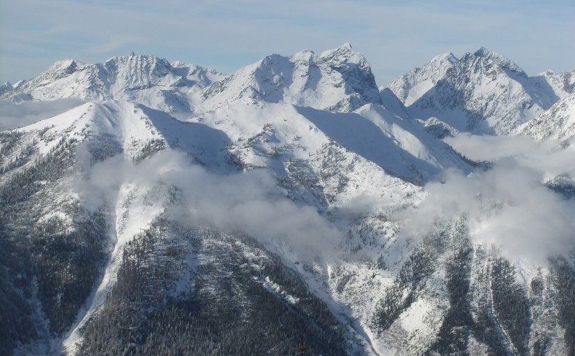
Mary Simpson Cabin ( Retallack-Reco Basin )
At Retallack follow Stinson Creek FSR ( past the Retallack Catskiing lodge ) up following the left side of the creek until the road crosses the bridge and then take the left fork, continue for another kilometer or so and the cabin is right there. There is some mountain bike activity around the area now so watch for traffic from mountain bikers in the summer and snowcat skiers in the winter. Check in with the Slocan Valley Snowmobile Association and Retallack lodge for activity and closures. Overnight stays must be booked.
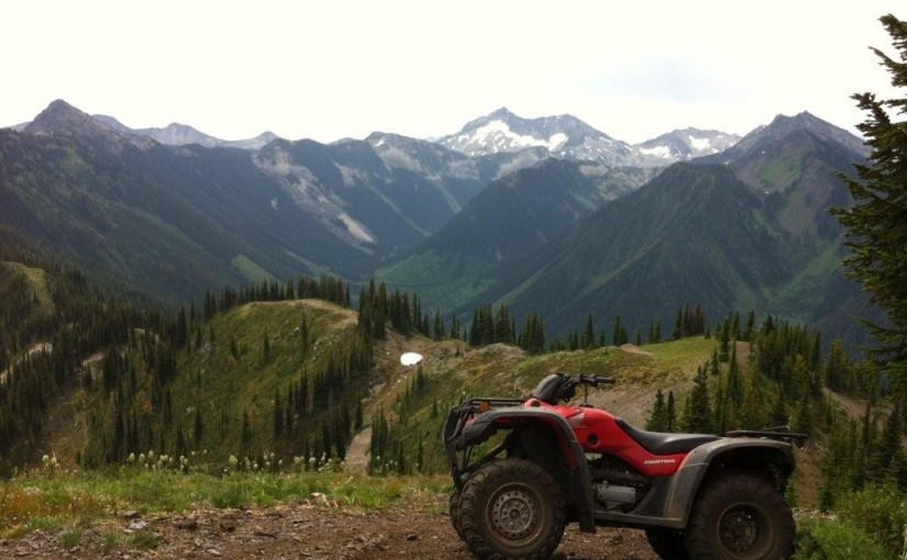
The area is popular with ATV’s in the summer doing the Robb Creek Trail, McGuilvary Creek and the trail over the pass into Sandon/Cody.
Retallack Lodge does helicopter and van/truck shuttles on the mountain bike trails in the area.
There are some great summer hiking opportunities from here including the summit of Mt Reco – 2 hours, Texas Peak – 2-3 hours, spectacular ridge systems with incredible views of the Goat Range, Silver Ridge and Kokanee. More photos
In the winter very busy with snowcat skiing.
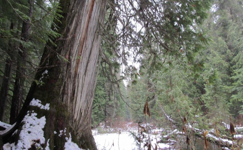
Retallack Cedars Trail
This is a short loop trail through a cedar-spruce ecosystem. An interpretive sign which describes the vegetation and wildlife along the trail is located near the start of the trail. This trail is actively used by bears; large hollow cedar trees have provided den locations in the past. Please stay on developed trails and treat the area with care. Trail may be closed seasonally due to Black Bear activity. Great one for kids. 15-30 minutes.
Driving Directions: Head west from kaslo on highway #31A for 28.6 km (measured from downtown Kaslo) to the old settlement of Retallack. On the west side of the settlement, turn left onto a dirt road and immediately cross over a bridge. The trail starts on the right hand side of the road immediately after the bridge.
( source: rec sites and trails )
Road is also marked with a Big R sign for Retallack catskiing lodge.
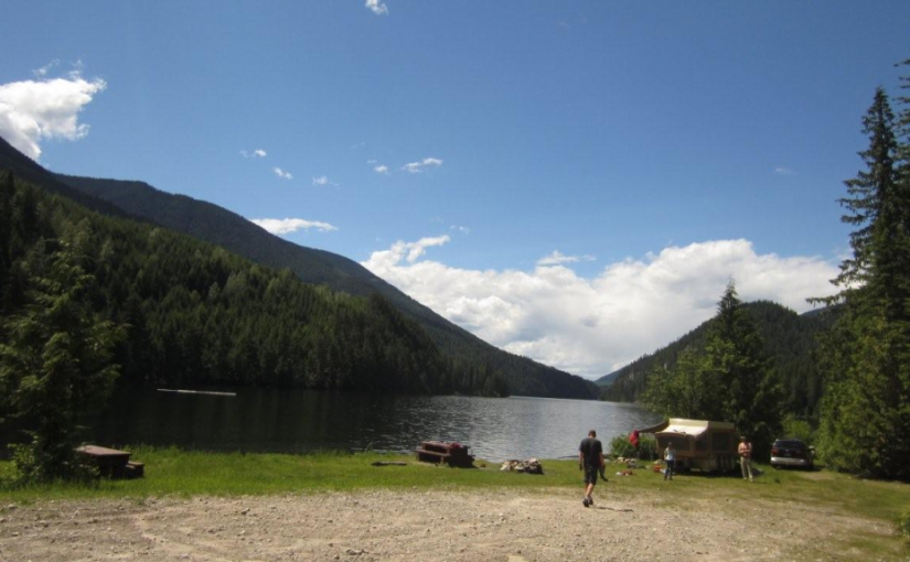
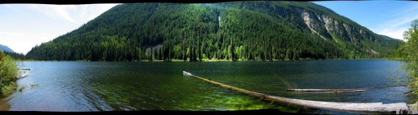
Wilson Lake East
Wilson Lake offers good boating. This 4.5 km long lake is deep and narrow. Most of the shoreline is steep and accessible only by boat. The recreation site, on a flat at the east end of the lake offers a large open area, with the campsites around the edge of the clearing, ideal for group gatherings. Trout fishing in the lake and in Fitzstubbs Creek can be rewarding. Miles of forestry roads in the vicinity are popular with bikers and ATV users.
Driving Directions:Access from Rosebery: Turn off Highway 6, at Rosebery, onto the “East Wilson Creek Road”. This road soon turns into the “Wilson Creek Forest Service Road”. Follow this good 2 wheel drive gravel road. At 5 km the road forks, stay left. At 33 km a dirt road crosses the “Wilson Creek Forest Service Road”, continue on the gravel road to the left. “Wilson Lake East Recreation Site” is straight ahead, at 34 km, just before the road crosses a bridge over Fitzstubbs Creek. Access from Nakusp: From the junction of Highway 6 and 23 in Nakusp, travel east on Highway 6 towards New Denver for 6.3 km. Turn left onto the “Wilson Lake Road”. Take this good 2 wheel drive, gravel road up Wensley Creek, past the sawmill. 7 km up the road, turn right onto the “Wilson Lake Forest Service Road”. Follow this rough 2 wheel drive road for 7 km, as it climbs steeply over the rocky bluffs south of Wilson Lake. Several spur roads come onto it from the right. Stay straight ahead at all of these, eventually descending to the shore of Wilson Lake. The recreation site at the end of the lake, is visible across the lake, from the last steep descent.
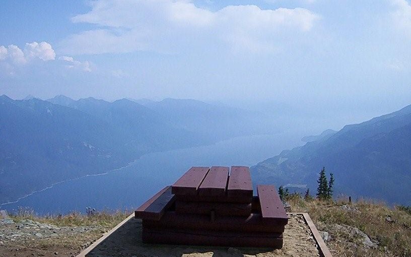
Mt Buchanan Fire Lookout
This is a high elevation day-use site which is located at an refurbished fire lookout building. This is a great spot for family oriented outings; views are spectacular and flowers are lovely in season. There is also a 2 km loop trail below the lookout that provides access to viewpoints on the rock bluffs. Interpretive displays on fire lookouts in the tower.
Mountain Bike trails start from here ( AKA The Monster )
Driving Directions: From Kaslo, head west on highway #31A for 11 km to the Blue Ridge Forest Services Road, then follow signs. Follow the main road for 11.9 km to the lookout, staying right at the 7.0 km junction. This road is suitable for 2wd vehicles.
(source: rec sites and trails )
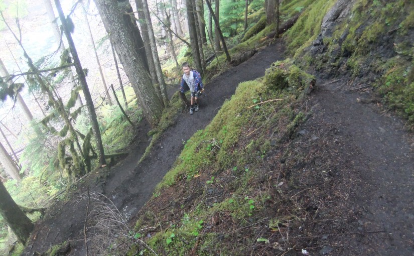
Wilson Creek Falls
A steep hike down to a cool, mossy waterfall. Wilson Creek Falls is considered one of the most spectacular waterfalls in British Columbia, plunging 207 feet. The hike is 2.2 km round trip. Trail is fairly flat for first 500 m and then drops down to the base of the falls. Plan on about 3-4 hours return trip from highway turn-off.
Directions: Head 5.3 km north of New Denver on Highway 6. Turn east ( right ) on East Wilson Creek FSR 11.5 km ( rough gravel road ) and then turn right just before bridge over Wilson Creek at turnoff signed for Wilson Creek Falls. A 4X4 road climbs 1km to trailhead or high clearance 2wd in 2015.