Category: slocan lake
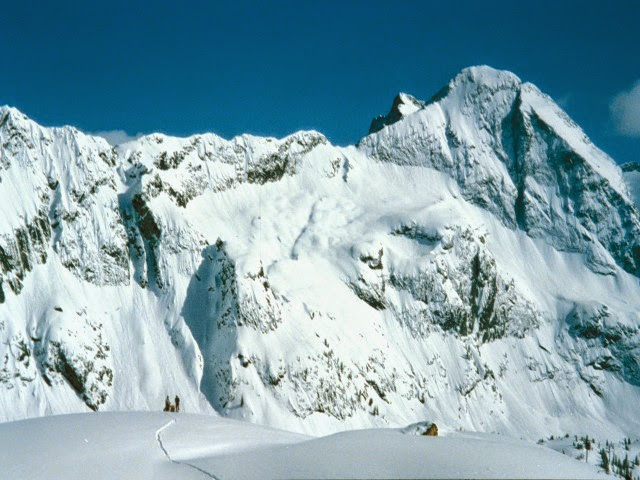
Beatrice Lake – Valhalla Provincial Park
Butters
Butters is rapidly becoming one of the most popular mountain bike trails in the Slocan Valley. Access is up a steep logging road which if you are not super fit you should definitely consider shuttling this one. The climb is relentless and a little rocky. Take the first left to access lower Butters which is a little steeper and technical than Upper Butters. Lower Butters is mostly blue with some black diamond sections. Upper Butters starts from the second left and is nice and flowy. Small signposts at the trailheads but helpful to have the GPS trail information particularly for accessing the top of lower butters.
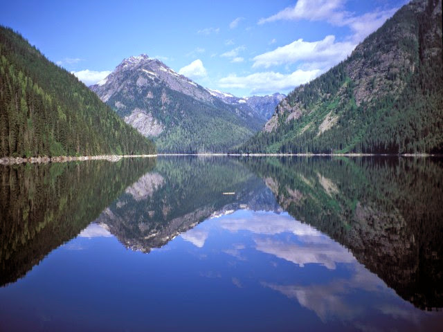
Wilson Lake East
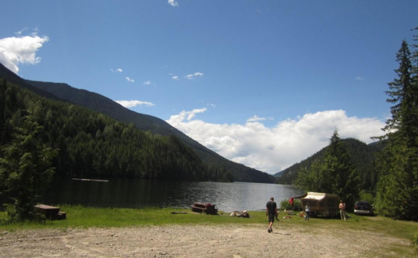
Wilson Lake offers good boating. This 4.5 km long lake is deep and narrow. Most of the shoreline is steep and accessible only by boat. The recreation site, on a flat at the east end of the lake offers a large open area, with the campsites around the edge of the clearing, ideal for group gatherings. Trout fishing in the lake and in Fitzstubbs Creek can be rewarding. Miles of forestry roads in the vicinity are popular with bikers and ATV users.
Driving Directions:Access from Rosebery: Turn off Highway 6, at Rosebery, onto the “East Wilson Creek Road”. This road soon turns into the “Wilson Creek Forest Service Road”. Follow this good 2 wheel drive gravel road. At 5 km the road forks, stay left. At 33 km a dirt road crosses the “Wilson Creek Forest Service Road”, continue on the gravel road to the left. “Wilson Lake East Recreation Site” is straight ahead, at 34 km, just before the road crosses a bridge over Fitzstubbs Creek. Access from Nakusp: From the junction of Highway 6 and 23 in Nakusp, travel east on Highway 6 towards New Denver for 6.3 km. Turn left onto the “Wilson Lake Road”. Take this good 2 wheel drive, gravel road up Wensley Creek, past the sawmill. 7 km up the road, turn right onto the “Wilson Lake Forest Service Road”. Follow this rough 2 wheel drive road for 7 km, as it climbs steeply over the rocky bluffs south of Wilson Lake. Several spur roads come onto it from the right. Stay straight ahead at all of these, eventually descending to the shore of Wilson Lake. The recreation site at the end of the lake, is visible across the lake, from the last steep descent.
Wragge Beach
Popular Drive to Campsite on Slocan Lake
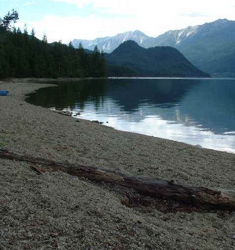
Wragge Beach is one of the prettiest beaches on Slocan Lake. The spacious campsites along the lake shore are shaded by trees. A wide beach curves gently for several hundred meters in both directions, inviting beach walking. A rocky outcrop extends out into the lake, making a scenic shoreline. This site is a popular destination campsite for vacationing families. The lake offers good fishing, boating, swimming and board sailing. The wide sandy beach, sloping gently down to the water, is safe for youngsters and provides a perfect volleyball court or frisbee field. If one tires of lazy beach days, a hike into Shannon Lake or Wragge Lake should satisfy the urge to stretch the legs.
Driving Directions:From the junction of Highway 6 and 31A in New Denver, travel north on Highway 6 for 15.2 km to Hills. Turn left onto “Bonanza Road”. Follow the asphalt over the bridge, onto gravel at the beginning of the “Shannon Creek Forest Service Road”. Turn right onto this road, and zero your odometer here. Follow the main line for 2.9 KM and go left here at the fork, turning onto Wragge Creek Road. At 4.2 KM on the odometer, go left at the junction. At 5.4 on the odometer, go left at the junction. At 7.5 KM proceed straight on the main line. At 9.4 KM find Wragge Beach. (note your vehicle odometer reading will not be the same as the Forest Service Road KM markings)
Bannock Point
Two Options: Bannock Point and Bannock Lookout.
Bannock Point, on the shores of Slocan Lake has special appeal. Walk-in camping is accessed via a 700 meter (1/2 mile), moderately steep trail. A small day-use area and 20 campsites are spread out along the treed and rocky lakeshore. There are also a few campsites located at the parking lot. Early in the morning expect to see eagles and osprey fishing. A small pebble beach catches the afternoon sun. A summer day can easily be whiled away diving in the clear water of Slocan Lake or sun bathing on the huge boulders. A favorite campsite for younger groups from Nelson and Castlegar with relatively short access.
Bannock Lookout Trail, is accessed from the same parking lot but instead of dropping down the lake follows a beautiful forest ledge system out to a series of incredible viewpoints. This is one of my favorite hikes in the Slocan Valley. The trail is about 45 minutes each way with always something different along the trail ending at a 300 ft rock cliff looking south down the Slocan Lake. From the parking lot head straight south. There is a good map board at the parking lot. There are no signs to the trail from anywhere before you get to the parking lot (2015).
Driving Directions: Road Access: From the bridge on Highway 6, in Silverton, travel south along the highway for 4.5 km. Turn right off the highway at the “Bannock Point Trail” sign ( no sign present 2015 ). It is about 3/4 km from the highway to the parking. Access the parking via the lane on the west side of the gravel pit. If you are driving a vehicle with a long wheel base, or towing a trailer, park at the gravel pit and walk down the road to the trail head. Otherwise, you can drive past the gravel pit to the trail head. Park only in designated parking areas to avoid erosion, compaction, and damage to vegetation. Boat Access: From Silverton’s public boat ramp, travel south along the east shore of Slocan Lake for about 4 km. Look for a sheltered bay and the “Bannock Point Recreation Site” sign on the beach.
( Recreation Sites and Trails BC )
Accommodation Options:
More low elevation hikes: