London Ridge

Location: Bear Lake on Hwy 31A.
Time: Full Day
Distance: 5 km
Elevation Gain: 1000m  (3,500 feet)
Map: 82
Avalanche Exposure: Complex

London Ridge is a popular early season destination for the south facing alpine slopes. There are also some huge north facing runs on the Kane Creek side of London Ridge. Park at Bear Lake parking area and cross the road and ascend the old mining roads through the trees until reaching sub-alpine and very steep and exposed terrain with few safe options. There are some alternate options accessing London Ridge through the same access as Whitewater Creek trail.

Meadow Mountain Cabin

The Meadow Mountain Cabin is managed under partnership agreement by the Nelson Sno-Goers and bookings can be made by going to http://nelsonsno-goers.webs.com/apps/links/ There is a $10 fee per person for overnight use of the cabin. Popular in the spring as a snowmobiling destination. Restrictions apply on snowmobiling in this area as there is a catskiing operation in the vicinity. More Information.

Also great summer hiking opportunities in the area with incredible views of the MtCooperGoat Range. Paragliding from Meadow Mountain and top-landing in spring and summer incredible as well

Driving Directions:From the community of Meadow Creek, take the Meadow Creek road north for 3.1 km until you reach a fork in the road. Take the right fork onto the Meadow Mountain Forest Service Road, cross a bridge and keep to the left at all intersections until you reach kilometre 9.4. At this point take a right, and then a left at 10.3 km. For the remainder of the drive, keep right at all intersections . It’s a long drive. Meadow Mountain is at 28.1 km and the cabin is at 29.0 km. A high clearance vehicle is necessary , and 4wd is recommended as there are steep rough sections on the road.


Mary Simpson Cabin ( Retallack-Reco Basin )

At Retallack follow Stinson Creek FSR ( past the Retallack Catskiing lodge ) up following the left side of the creek until the road crosses the bridge and then take the left fork, continue for another kilometer or so and the cabin is right there. There is some mountain bike activity around the area now so watch for traffic from mountain bikers in the summer and snowcat skiers in the winter. Check in with the Slocan Valley Snowmobile Association and Retallack lodge for activity and closures. Overnight stays must be booked.

The area is popular with ATV’s in the summer doing the Robb Creek Trail, McGuilvary Creek and the trail over the pass into Sandon/Cody.

Retallack Lodge does helicopter and van/truck shuttles on the mountain bike trails in the area.

There are some great summer hiking opportunities from here including the summit of Mt Reco – 2 hours, Texas Peak – 2-3 hours, spectacular ridge systems with incredible views of the Goat Range, Silver Ridge and Kokanee.  More photos

In the winter very busy with snowcat skiing.

Retallack Cedars Trail

This is a short loop trail through a cedar-spruce ecosystem. An interpretive sign which describes the vegetation and wildlife along the trail is located near the start of the trail. This trail is actively used by bears; large hollow cedar trees have provided den locations in the past. Please stay on developed trails and treat the area with care. Trail may be closed seasonally due to Black Bear activity. Great one for kids. 15-30 minutes.

Driving Directions: Head west from kaslo on highway #31A for 28.6 km (measured from downtown Kaslo) to the old settlement of Retallack. On the west side of the settlement, turn left onto a dirt road and immediately cross over a bridge.  The trail starts on the right hand side of the road immediately after the bridge.

( source: rec sites and trails )

Road is also marked with a Big R sign for Retallack catskiing lodge.

Mt Buchanan Fire Lookout

This is a high elevation day-use site which is located at an refurbished fire lookout building. This is a great spot for family oriented outings; views are spectacular and flowers are lovely in season. There is also a 2 km loop trail below the lookout that provides access to viewpoints on the rock bluffs. Interpretive displays on fire lookouts in the tower.

Mountain Bike trails start from here ( AKA The Monster )

Driving Directions: From Kaslo, head west on highway #31A for 11 km to the Blue Ridge Forest Services Road, then follow signs. Follow the main road for 11.9 km to the lookout, staying right at the 7.0 km junction. This road is suitable for 2wd vehicles.

(source: rec sites and trails )

Fletcher Lake Rec Site

This is a steep rustic trail into an alpine lake area. The trail starts on a skid road in a cutblock, and winds its way through dense sub-alpine forest and creekside vegetation to the east end of the lake. The area is heavily used by grizzly bears and site users should take care to make noise when hiking. Hike in groups, and store food out of bear-reach and well away from campsites. The site provides good backcountry camping and fishing. Please pack “ALL” your garbage out with you so bears are not attracted to the area.

Driving Directions:From Balfour, drive 23.0 KM along highway 31 towards Kaslo, and turn left onto a dirt road (4.2 KM north of the Woodbury Creek Resort). Zero your odometer at the start of the Woodbury-Fletcher FSR. At 1.1 KM (the crest of the hill) turn right on to Fletcher Creek Road. At 2.8 KM take the left fork. At 3.7 KM bear right. At 7.3 Km stay left. At 11.5 go right and begin to drive though recent logging. Road is very rough from here (high clearance 4×4) with deep water bars. At 12.5 KM park at the old logging landing. From here walk a few hundred feet along an old de-activated road to find the trail head going off up to the left.

(source: rec sites and trails)

Milford Lake

Milford Lake is a small site at a sub-alpine lake that is accessible by 4wd high clearance vehicles. The site offers scenic views down Kootenay lake and 2 campsites.

Driving Directions:The Milford Lake road leaves the west side of Highway #31, 9.4 km north of Kaslo. Travel up Milford Lake Road for 8.0 km to a junction. Turn right at this junction and continue for another 0.8 km to the lake. Although there are some steep rough sections, the road is suitable for 2wd high clearance vehicles.

MacBeth Icefield

This is a trail providing access to an alpine plateau with spectacular views of the surrounding peaks. The sensitive alpine plateau is intended for day-use only. Primitive campsites are provided at the end of the trail below the plateau. This area provides good hiking , camping, excellent viewing, and nature study opportunities.

Driving Directions: From Cooper Creek, head north on the Duncan River forest service road for 10.0 km to the Glacier Creek road. Follow the main Glacier Creek road for 37.4 km(keep right at the 23.4 km junction) to a fork in the road. Take this left fork for 5.5 km (keeping right at the 1.7 km junction). The trailhead is on the left. The roads are suitable for 2wd high clearance vehicles.

( source: rec sites and trails )

Monica Meadows

This is a trail providing access to an alpine plateau with spectacular views of the surrounding peaks. The sensitive alpine plateau is intended for day-use only. Primitive campsites are provided at the end of the trail below the plateau. This area provides good hiking , camping, excellent viewing, and nature study opportunities.

Driving Directions: From Cooper Creek, head north on the Duncan River forest service road for 10.0 km to the Glacier Creek road. Follow the main Glacier Creek road for 37.4 km(keep right at the 23.4 km junction) to a fork in the road. Take this left fork for 5.5 km (keeping right at the 1.7 km junction). The trailhead is on the left. The roads are suitable for 2wd high clearance vehicles.

K&S Railway ( Sandon )

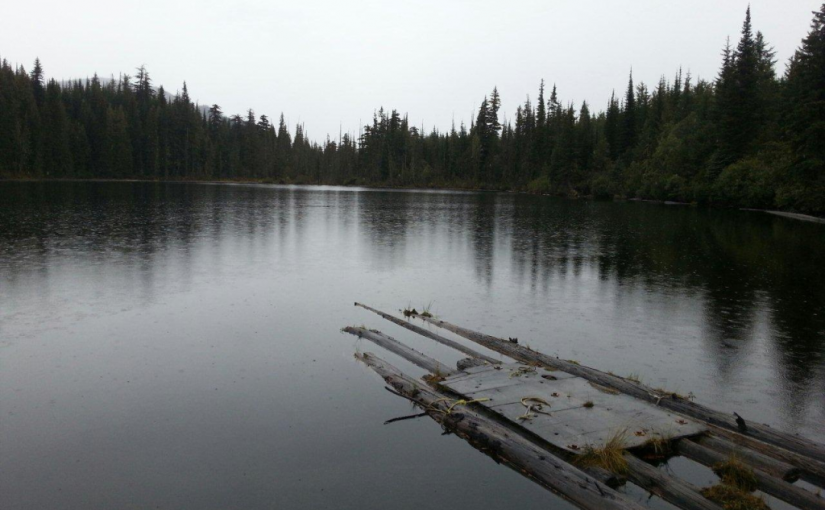
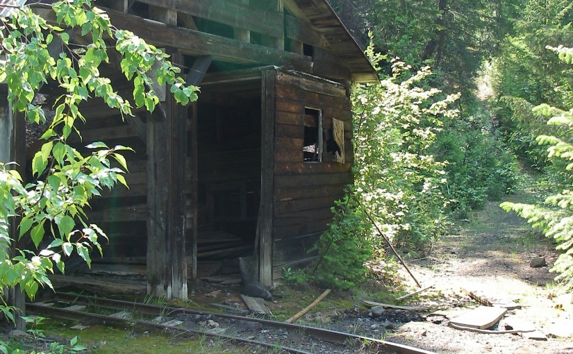
Site Description:The K & S Railway Trail can be done in many ways. No matter how you do it, be sure to give yourself time to poke around the old mine sites, admire the rock work and pause to take in the views. From Sandon to Payne Bluff is an easy stroll. To make it easier, drive the first 2.3 km and then it is only 3.8 km to Payne Bluff. If you have a way back from Three Forks, you can take the old pack trail, down to the highway from Payne Siding. If you want a bit of a workout, start at Three Forks. The first section of trail takes you to the old CPR grade. Follow this for 300 metres, then look for a sign that directs you to the left and up, onto the old pack trail. After a steep 1.4 km you are at Payne Siding. Turn left to Payne Bluff, which is 300 metres along the railway grade. Biking? The first 2.5 km from Sandon is a pleasant family bike ride. After this, the trail becomes single track and somewhat technical.

Driving Directions:Access to the Sandon end of the K & S: At the junction of Hwy 6 and 31A in New Denver, turn east onto Hwy 31A. Proceed for 8.3 km to the turn off to Sandon. This junction is known as Three Forks. Proceed 5.5 km to Sandon. Rather than going over the bridge, continue straight ahead on Reco Street for 500 metres to the “K & S Historic Railway Trail” interpretive sign and trail head. If you would like an easy family bike route, the next 2.3 km along the railway grade to the Altoona Mine, has a gentle grade and is wide. This section of the trail is also suitable for 2 wheel drive vehicles or a pleasant walk. Access from Three Forks to the K S: At the junction of Hwy 6 and 31A in New Denver, turn east onto Hwy 31A. Proceed for 8.3 km to the turn off to Sandon. Park at the trail head sign on Hwy 31A, 100 metres north of this junction.

( rec sites and trails ) NORTH SLOCAN TRAILS SOCIETY
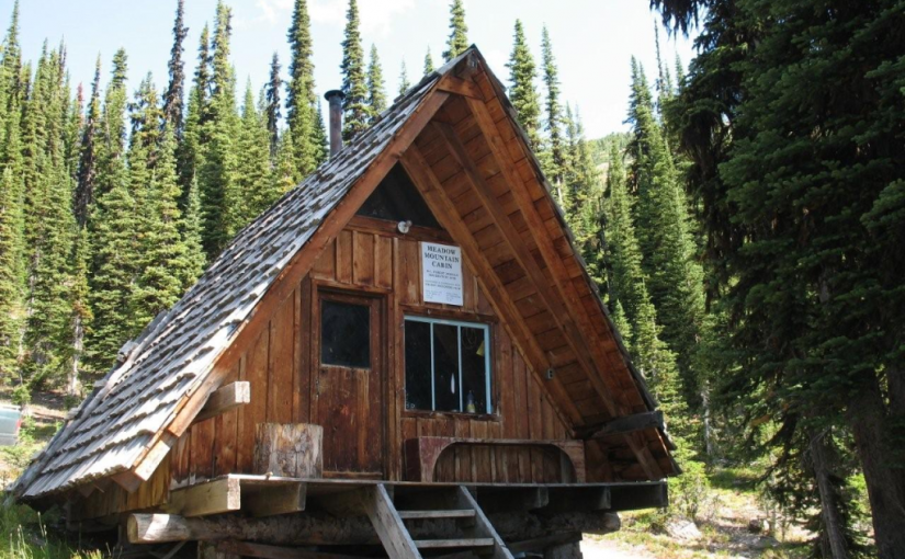
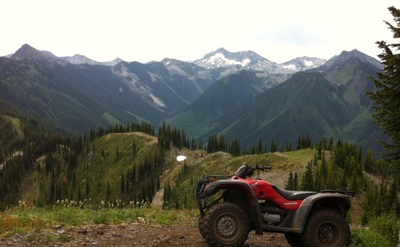
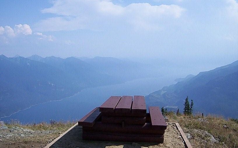
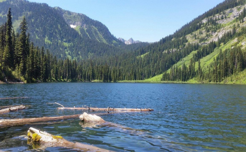