Grizzly Creek Rec Site

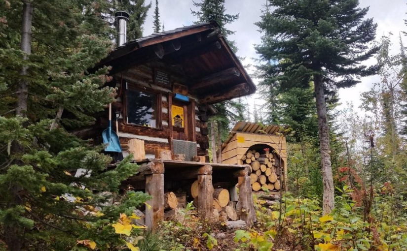
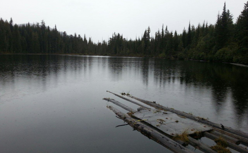
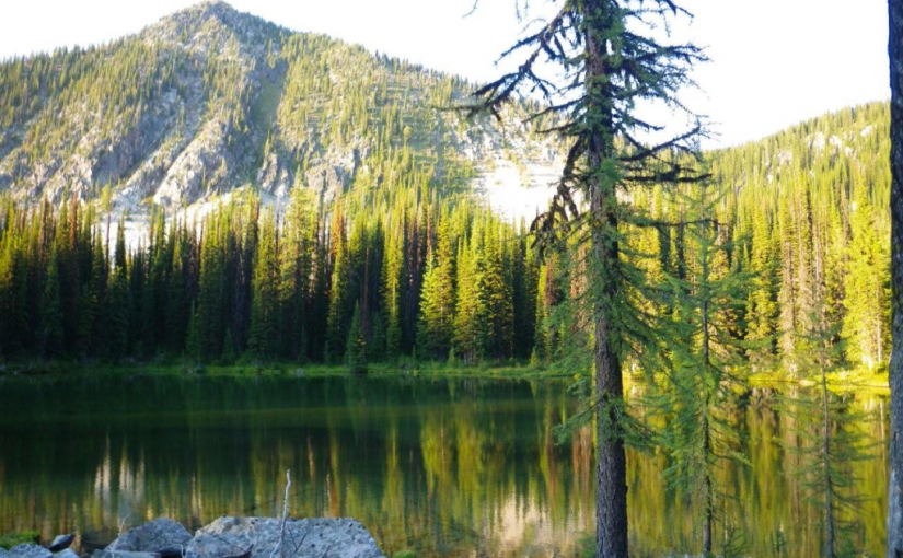
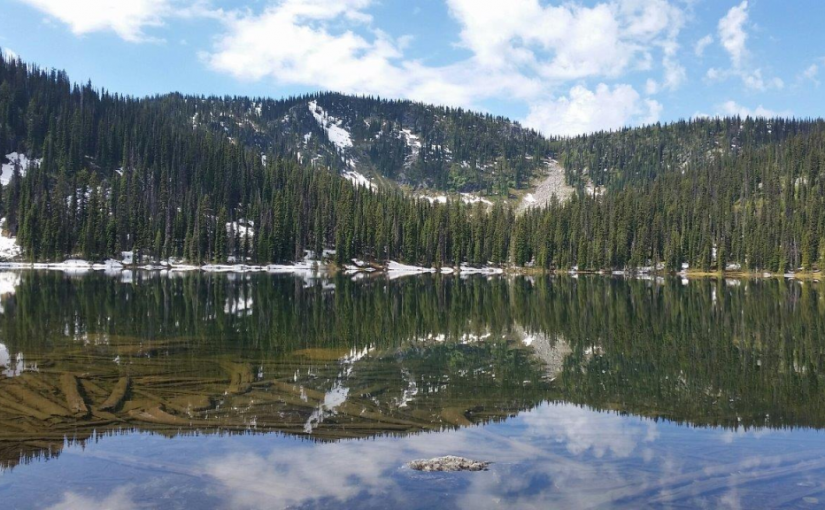
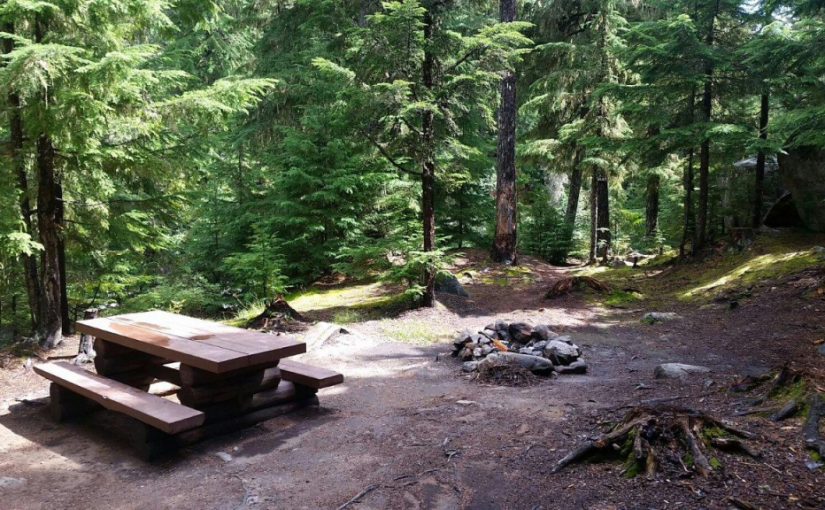
Grizzly Creek recreation site is an ideal base camp for explorations up Koch, Greasybill and Grizzly Creeks. This site would make a good rest stop before exploring the rough 4 wheel drive road that goes over the height of land and down to Lower Arrow Lake near Fauquier. The two campsites are scenically situated on rock ledges adjacent to Koch Creek. On a hot summer day the pools below the rock ledges are most inviting. Stream fishing above the bridge rewards the patient angler with brook trout. The surrounding area offers good huckleberry picking and mushroom gathering.

Driving Directions:On Highway 6, near Passmore, look for the Provincial Park signs for “(Valhalla) Drinnon Pass Turn-off”. Following these signs turn left onto “Upper Passmore Road”. The first 3 km of this road are paved. At 3.7 km fork left onto the “Little Slocan Forest Service Road”, a good 2 wheel drive gravel road. Continue on this road following the “Valhalla” signs. At 5.2 km fork right. At 6 km you will cross Airy Creek. At 9 km fork right. At 12.7 km you will cross Koch Creek. At 13.2 km, stop following the “Valhalla” signs and turn left onto the “Koch Creek Forest Service Road”. Travel up Koch Creek for 9.2 km. Turn left, over a major bridge crossing to the other side of Koch Creek. The Grizzly Creek Recreation Site is on your left.

( source : Rec Sites and Trails )

Huckleberry Hut

Huckleberry Hut is a cosy log cabin situated at around 1600 metres in the valley below Midday and Cabin Peaks. It is a small hut with two bunks (no foam mattresses) which will each sleep two. There is also a fold-down table, wood stove and outhouse, and basic cooking utensils (pots, pans, cups, bowls, plates, cutlery, etc.) There is a two burner white gas Coleman Stove and Coleman Lantern, bring spare mantels and white gas. The cabin is maintained under partnership agreement with Kootenay Mountaineering Club. For detailed information and driving directions please visit: http://www.kootenaymountaineering.bc.ca

Driving Directions: Access to the Huckleberry Hut is via Porto Rico Road, 15 km south of Nelson off Highway 6. In summer, with a high clearance four wheel drive vehicle you can drive for six kilometres to a junction where an old road leads off to the left. Park here, and walk the remaining two kilometres to the cabin. In winter a combination of snowmobiles and ski touring gear may be required. The cabin is maintained under partnership agreement with Kootenay Mountaineering Club. For detailed information and drining directions please visit: http://www.kootenaymountaineering.bc.ca/huckleberry.html

Kokanee Creek Old Growth Trail

This is an easy to moderate interpretive trail through an old cedar/hemlock forest. Features of the trail include large stands of huge cedar tree, lush creek side habitat, an avalanche path, and historic remains of turn-of-the-century mining and logging.

Driving Directions:Travel east of Nelson for 19.0 km on highway #3A to the Gibson Lake/Kokanee Glacier Provincial Park access road. Travel along the access road for 11.4 km to the trailhead sign. Parking for 6 vehicles is located approximately 50 meters beyond the trailhead sign. When starting the trail, keep to the left at the fork. The right fork leads down to a viewpoint.

Little Slocan Rec Site

A small, semi-open, lakeside campsite.

Driving Directions:The most popular access to Little Slocan Lakes campsite is from Passmore along Highway 6. As you drive through Passmmore heading north turn left off of the highway onto Passmore Upper Road. Cross the river and follow the road for 3.7 km. Turn left onto the Little Slocan Forest Service Rd.. Stay on the main road for approx 21 km to the recreation site on your right.

Milford Lake

Milford Lake is a small site at a sub-alpine lake that is accessible by 4wd high clearance vehicles. The site offers scenic views down Kootenay lake and 2 campsites.

Driving Directions:The Milford Lake road leaves the west side of Highway #31, 9.4 km north of Kaslo. Travel up Milford Lake Road for 8.0 km to a junction. Turn right at this junction and continue for another 0.8 km to the lake. Although there are some steep rough sections, the road is suitable for 2wd high clearance vehicles.

Oliver (Johny Connors) Lake

This is a small site located in a scenic alpine basin with a shallow lake. There is a short trail on the east side of the road to the shallow lake and around it. Access can also be gained to the surrounding ridges, although there are no developed trails.

Driving Directions:From the community of Crawford Bay, head south for 200 meters on Highway3A, and then turn left on Oliver road just past the Gray Creek store. Follow this road for 300 meters and then turn right, crossing Grey Creek. Follow this road , now called Anderson road, for 1.3 km, turning left at the junction. Follow the main Grey Creek road 15.0 km to the campsite.

Ross Lake Trail

The Ross Lake trail offers a sub-alpine experience for the whole family. This is a short,but rough, trail that ends at a small alpine lake and provides access to the surrounding ridge system. The primary activities are hiking, fishing, and camping.

Driving Directions:From the ferry terminal at Balfour, travel west on highway #3A for 2.7 km to Beggs Road on the right. Keep to the left, and follow Beggs road for 0.8 km to a fork in the road. Stay left and drive 0.3 km to Redfish Forest service road on the left (cross over Laird Creek). Follow Redfish forest service road (keep right at the junction with the Redfish Research Area) for 10.3 km to a bridge. Drive across the bridge and drive the remaining 1.0 km to a road that leads to the right. The bridge across this road is damaged, so you will need to walk the remaining portion of the road to the trailhead. The trail begins on an old skid trail to the north-west.

Six Mile Lakes

Six Miles Lake site is a series of three connected sub-alpine lakes. A rustic 3.0 km nature trail on the west side of the lake offers views of the lakes and a pleasant walk through the forest. The trail head is just south of the recreation site on the west side of the road. The end of the trail rejoins the road past the furthest lake, and you can walk back along the road to the trailhead. This is the headwaters of a domestic – use watershed. Please respect the lakes and creeks.

Driving Directions:Travel north from Nelson on highway #3A for 8.0 km to Six Mile Lakes road. Follow Six Miles Lakes road for 10.0 km to a fork in the road. Then take the right fork for 3.0 km to the recreation site . The road is suitable for a 2wd vehicles, although the last 3.0 km are very rough in sections.

(source: Recreation Sites and Trails )

In the winter the six mile lakes circuit is popular with snowmobilers connecting the road across to Lemon creek in the Slocan Valley. Nelson Snowgoers for more information

There are some ski touring destinations in the area as well.

Sproule Creek Trail

This trail follows an old wagon trail and railroad constructed by the A.G. Lambert Lumber Co. Ltd. between 1919 and 1930. The trail provides access to the old mill site and opportunities for ridge-top hiking. The Westside loop is a cross country ski loop. It is rough and not suitable for hiking or riding. The east fork trail is a short 1.5 km (one way) trail of moderate difficulty. The gentle slope of trail gives it an “easy” rating, although there are some rough sections. The trail is used by mountain bikers, horseback riders, hunters, cross-country skiers, and hikers.

Driving Directions:From the community of Nelson, head west along highway #3A for 11.3 km to Sproule Creek Road. Follow this road for 4.0 km to the parking lot. The trailhead is located approximately 100 m up a private drive on the west side of the creek. This road is suitable for 2wd vehicles.

(source: Rec Site and Trails )

Old Glory Lookout

The Old Glory Trail is a ridge-hikers delight. The trail provides access to many kilometres of open easy ridge hiking with great views. The first section of this trail is a gentle grade that leads through a stand of large cedar and hemlock on the south side of Hanna Creek drainage and then enters an old cutblock. As the trail nears the end of the cutblock at 1.2 km the grade steepens and at times may be overgrown with alder. Hikers would be well advised to bring raingear for this section if it is wet. At 3.2 km the trail reaches a low saddle on the ridge that is called “Unnecessary Ridge” by locals. From here there are several unmanaged trails that join the main trail. Old Glory trail lies to the right, and is marked with a small sign. Turning up the ridge, the grade becomes gentler and the sub-alpine forest opens up to allow glimpse views to both sides of the ridge. The trail continues at a moderate to gentle grade, winding its way up the ridge and starting into an old burn at 4.5 km. At 6.5 km the trail reaches a junction with Plewman Trail. From here Old Glory Peak is 2.0 km. From here the trail user has the option of following Plewman Trail down the other side of the Hanna Creek drainage to the trailhead (4.5 km), or continuing on to Old Glory. The Forest Service fire lookout building perches at the very peak at an elevation 2376 m / 7795 ft. From this lofty perch 360 degree views of the surrounding areas reveal Goat Mountain and Big Sheep Creek drainage to the west, Mt. Plewman and Highway 3 to the north and east, the view back down Unnecessary Ridge, Mt. Kirkup, Grey Mountain and Granite Mountain to the east, and Esling Creek drainage to the south.

Driving Directions: From the Museum in Rossland follow the highway north for 10 km to the trailhead on the west (left) side of the highway. The trailhead can be hard to find. Look for a 4 x 4 sign post and a small grassy parking area. There is room for 2-3 vehicles at the trailhead itself, and more parking space across the highway.

( source: rec sites and trails ) – FRIENDS OF THE ROSSLAND RANGE