Barnard Beach Rec site

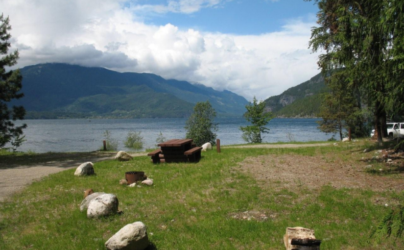
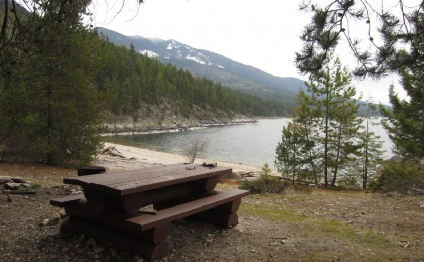
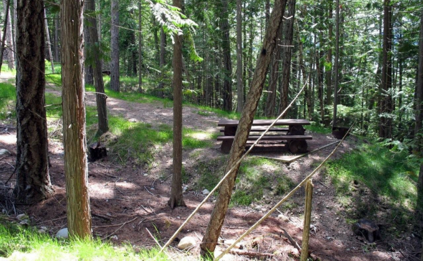
This popular recreation site consists of a mix of vehicle campsites (not on the lake) and tent sites (on the lake).

Driving Directions:From the community of Riondel on the east shore of Kootenay Lake, take a right turn on to Eastman Avenue and proceed to Tam O’Shanter Creek. Take the Kootenay Lake East forest service road 9.0 km to the Bernard forest service road junction, then take the left fork for 3.0 km to the site. The road is suitable for 2wd vehicles.


Garland Bay Rec Site

This is an enhanced site and has a $12 per night charge. Garland Bay is a large open beach site on the east shore of Kootenay Lake. This site receives very heavy use during the summer season. Very popular area for swimming, camping, fishing and boating. 22 campsites.

Driving Directions: From the community of Riondel on the east shore of Kootenay Lake, take a right turn on to Eastman Avenue and proceed to Tam O’Shanter Creek. Take the Kootenay Lake East forest service road 9.0 km to the Bernard forest service road junction, then take the left fork for 4.0 km to the site. The road is suitable for 2wd vehicles.

(source: rec sites and trails )

Oliver (Johny Connors) Lake

This is a small site located in a scenic alpine basin with a shallow lake. There is a short trail on the east side of the road to the shallow lake and around it. Access can also be gained to the surrounding ridges, although there are no developed trails.

Driving Directions:From the community of Crawford Bay, head south for 200 meters on Highway3A, and then turn left on Oliver road just past the Gray Creek store. Follow this road for 300 meters and then turn right, crossing Grey Creek. Follow this road , now called Anderson road, for 1.3 km, turning left at the junction. Follow the main Grey Creek road 15.0 km to the campsite.

Pebble Beach Rec Site

This is a popular sunbathing, swimming, and camping site. It is located in a small protected bay on the east shore of Kootenay Lake with a pebble beach surrounded by exposed rock. The site offers fishing, hiking, camping, picnicking, and swimming.

Driving Directions:From the community of Riondel on the East shore of Kootenay Lake, take a right turn onto Eastman Avenue and proceed to Tam O’Shanter Cr. Take the Kootenay Lake East Forest Service Road for 3.2km to the trail head. Park your vehicle on the left side of the road by the trail head sign. A moderate 2.0km trail located on the west side of the road leads into the site. This site is also accessible by boat.