Cedar Grove Trail

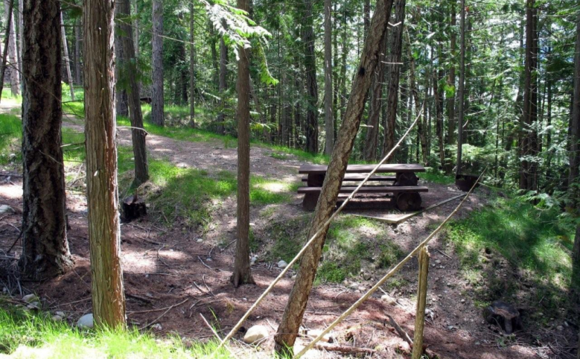
This is one of the few pure stands of old growth Western Red Cedar in the area. The loop trail through these giants is easy enough for toddlers through to “opals” – older people with active lifestyles. The height of these western red cedar trees will have you craning your neck as your eyes follow the massive trunks towards the sky. The understorey is dominated by Lady fern and Devil’s club, so beware if you venture off the trail. This is a pleasant retreat on a hot day. Bring a picnic and enjoy the stillness and quiet of this special place.

Driving Directions:From the junction of Highway 6 and 23 in Nakusp, travel north on Highway 23 for 3 km to the Nakusp Hot Springs turn off. Take the Hot Springs road for 10.8 km. Turn left onto the “Kuskanax Creek Forest Service Road”. Follow this steep, rough, loose surface, high clearance, 2 wheel drive road for 4.2 km. Turn left onto a dirt road, signed “Cedar Grove Trail 0.8 km”. Park at the “Large Western Red Cedar Grove” sign.

Stevens Creek Rec Site ( Whatshan lake )

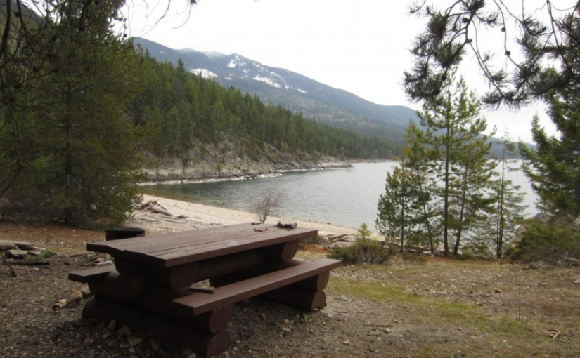
Whatshan Lake is a boating and popular fishing lake with more to offer than just big fish. In summer the lake warms up to very pleasant swimming temperature. Stevens Creek is very scenic. Whatshan Peak is directly across the lake and the Pinnacles loom in the distance. Large white pine trees shade level campsites. Some of the sites are clustered together, making them perfect for group camping. There is a day use area for picnicking and enjoying the pea gravel and sand beach. Camping Fees will be collected from May to October Annually at a rate of $12.00/night. Boat Launch

Driving Directions: Access from the Needles Ferry: Zero your odometer at the Needles ferry landing on the Edgewood side. At 3.2 KM turn right off the highway on to Whatshan Lake Road. At 4.7 KM turn right on to Whatshan Forest Service Road. At 5.6 KM find a junction, stay on the main line. At 18.5 Proceed Left and stay on the Whatshan FSR. At 26.8 KM proceed left at the junction staying on the Whatshan FSR. At 27 KM pass the Richy Recreation Site on the left. At 28.8 Find Stevens Creek Recreation Site on the left. Directions from Arrow Park Ferry: When leaving the ferry stay left onto: Stevens Road to Needles. At 8.9 Km take the left fork sign: To Needles/ Old Arrow Park . At 11.5 Km take the right fork sign: Whatshan Lake Richy/ Stevens. AT 23.2 Km Stay right onto Branch 1 Stevens. At 24.7 Km hairpin left onto Whatshan Rd. going South. At 26.1 Km Stevens Campground on Right. At 28.3 Km Richy Campground on Right.

Taite Creek

Taite Creek flows into Lower Arrow Lake. The recreation site is located on the north side of Taite Creek, on the shore of Lower Arrow Lake. It is a great spot to camp while fishing Lower Arrow Lake. During low water, there is a sand and cobble stone beach. The campsites are in a semi-open stand of mature trees. There is lots of opportunity to camp on the beach. The water warms up later in the summer and is quite pleasant for swimming and board sailing. Perennial sweet peas along the shore hint at the old settlements that were here, before the area was flooded by the Hugh Keenleyside Dam. For the back roads traveller, Taite Creek makes a good rest stop on the rough 4 wheel drive road that goes over the Valkyr Range. This road ties into the “Koch Creek Forest Service Road” which leads down to the Slocan Valley. 5 campsites.

Driving Directions: From the junction of Highway 6 and “Applegrove Road” in Fauquier, travel south on “Applegrove Road” for 9.6 km on a good, 2 wheel drive, gravel road. 100 meters before the bridge over Taite Creek, turn right onto a dirt road. Follow this narrow, 2 wheel drive road for 1 km to the recreation site on the lake shore.
Barnard Beach Rec site

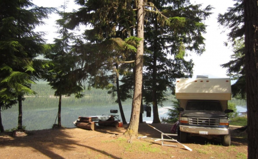
This popular recreation site consists of a mix of vehicle campsites (not on the lake) and tent sites (on the lake).

Driving Directions:From the community of Riondel on the east shore of Kootenay Lake, take a right turn on to Eastman Avenue and proceed to Tam O’Shanter Creek. Take the Kootenay Lake East forest service road 9.0 km to the Bernard forest service road junction, then take the left fork for 3.0 km to the site. The road is suitable for 2wd vehicles.


Pebble Beach Rec Site

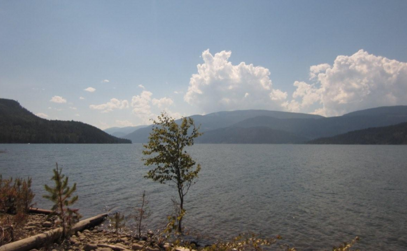
This is a popular sunbathing, swimming, and camping site. It is located in a small protected bay on the east shore of Kootenay Lake with a pebble beach surrounded by exposed rock. The site offers fishing, hiking, camping, picnicking, and swimming.

Driving Directions:From the community of Riondel on the East shore of Kootenay Lake, take a right turn onto Eastman Avenue and proceed to Tam O’Shanter Cr. Take the Kootenay Lake East Forest Service Road for 3.2km to the trail head. Park your vehicle on the left side of the road by the trail head sign. A moderate 2.0km trail located on the west side of the road leads into the site. This site is also accessible by boat.