Erie Creek Rec Site

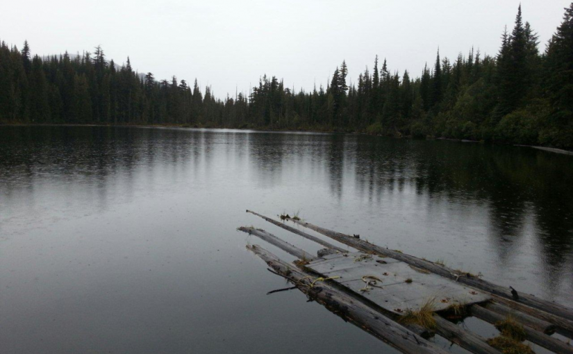
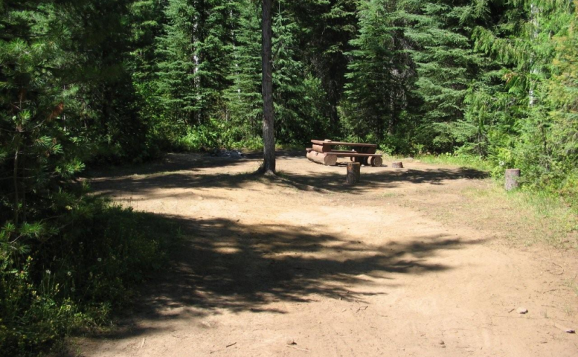
The Erie Creek Recreation Site is one of the few recreation sites large enough to accommodate groups of 3 or 4 vehicles. The sites are in a semi-open forest, offering shade in the hottest part of the day. Located beside crystal clear Erie Creek

Driving Directions:From the junction of Highway 3B and 3/6 in Salmo, travel 3.6 km west towards Trail, on Highway 3. Just before a small bridge over Erie Creek, turn right onto the “Second Relief Road”. This road is paved for the first 200 meters, then turns into a good 2 wheel drive gravel road. Within 1 km you will see the “Erie Creek Forest Service Road” sign. Continue up this road. The road forks at 7 km, stay straight ahead (to the left). The road forks again at 8.5 km, again stay left, descending into the valley. Cross over the bridge, at 10 km. The recreation site is on your right.

( source : Rec sites and trails )

Fletcher Lake Rec Site

This is a steep rustic trail into an alpine lake area. The trail starts on a skid road in a cutblock, and winds its way through dense sub-alpine forest and creekside vegetation to the east end of the lake. The area is heavily used by grizzly bears and site users should take care to make noise when hiking. Hike in groups, and store food out of bear-reach and well away from campsites. The site provides good backcountry camping and fishing. Please pack “ALL” your garbage out with you so bears are not attracted to the area.

Driving Directions:From Balfour, drive 23.0 KM along highway 31 towards Kaslo, and turn left onto a dirt road (4.2 KM north of the Woodbury Creek Resort). Zero your odometer at the start of the Woodbury-Fletcher FSR. At 1.1 KM (the crest of the hill) turn right on to Fletcher Creek Road. At 2.8 KM take the left fork. At 3.7 KM bear right. At 7.3 Km stay left. At 11.5 go right and begin to drive though recent logging. Road is very rough from here (high clearance 4×4) with deep water bars. At 12.5 KM park at the old logging landing. From here walk a few hundred feet along an old de-activated road to find the trail head going off up to the left.

(source: rec sites and trails)

Giveout Creek Cabin

The cabin overlooks the Nelson Valley at an elevation of 1730 Meters. The cabin is primarily used for a warming hut for snowmobilers. There are a few bunks in the cabin for overnight use. There is good snowmobiling in the cut blocks surrounding the cabin and in and around the old mining sites.

Driving Directions:The cabin can be accessed off of Hwy 8 to Ymir out off Nelson. Turn east onto Giveout Creek FSR for +/- 1.6 km and then onto Gold Creek FSR for +/- 5 Km, then bear right at the junction. Follow this road for 3 more KM . At this point there is an old logging skid road for 300 meters up to the cabin. There is usually lots of snowmobile tracks leading to the cabin. The trail in is occasionally groomed by the nelson sno-goers club. Cabin Location is N49�25.602 W117�17.722

more information at http://nelsonsno-goers.webs.com/

Grizzly Creek Rec Site

Grizzly Creek recreation site is an ideal base camp for explorations up Koch, Greasybill and Grizzly Creeks. This site would make a good rest stop before exploring the rough 4 wheel drive road that goes over the height of land and down to Lower Arrow Lake near Fauquier. The two campsites are scenically situated on rock ledges adjacent to Koch Creek. On a hot summer day the pools below the rock ledges are most inviting. Stream fishing above the bridge rewards the patient angler with brook trout. The surrounding area offers good huckleberry picking and mushroom gathering.

Driving Directions:On Highway 6, near Passmore, look for the Provincial Park signs for “(Valhalla) Drinnon Pass Turn-off”. Following these signs turn left onto “Upper Passmore Road”. The first 3 km of this road are paved. At 3.7 km fork left onto the “Little Slocan Forest Service Road”, a good 2 wheel drive gravel road. Continue on this road following the “Valhalla” signs. At 5.2 km fork right. At 6 km you will cross Airy Creek. At 9 km fork right. At 12.7 km you will cross Koch Creek. At 13.2 km, stop following the “Valhalla” signs and turn left onto the “Koch Creek Forest Service Road”. Travel up Koch Creek for 9.2 km. Turn left, over a major bridge crossing to the other side of Koch Creek. The Grizzly Creek Recreation Site is on your left.

( source : Rec Sites and Trails )

Huckleberry Hut

Huckleberry Hut is a cosy log cabin situated at around 1600 metres in the valley below Midday and Cabin Peaks. It is a small hut with two bunks (no foam mattresses) which will each sleep two. There is also a fold-down table, wood stove and outhouse, and basic cooking utensils (pots, pans, cups, bowls, plates, cutlery, etc.) There is a two burner white gas Coleman Stove and Coleman Lantern, bring spare mantels and white gas. The cabin is maintained under partnership agreement with Kootenay Mountaineering Club. For detailed information and driving directions please visit: http://www.kootenaymountaineering.bc.ca

Driving Directions: Access to the Huckleberry Hut is via Porto Rico Road, 15 km south of Nelson off Highway 6. In summer, with a high clearance four wheel drive vehicle you can drive for six kilometres to a junction where an old road leads off to the left. Park here, and walk the remaining two kilometres to the cabin. In winter a combination of snowmobiles and ski touring gear may be required. The cabin is maintained under partnership agreement with Kootenay Mountaineering Club. For detailed information and drining directions please visit: http://www.kootenaymountaineering.bc.ca/huckleberry.html

Milford Lake

Milford Lake is a small site at a sub-alpine lake that is accessible by 4wd high clearance vehicles. The site offers scenic views down Kootenay lake and 2 campsites.

Driving Directions:The Milford Lake road leaves the west side of Highway #31, 9.4 km north of Kaslo. Travel up Milford Lake Road for 8.0 km to a junction. Turn right at this junction and continue for another 0.8 km to the lake. Although there are some steep rough sections, the road is suitable for 2wd high clearance vehicles.

Oliver (Johny Connors) Lake

This is a small site located in a scenic alpine basin with a shallow lake. There is a short trail on the east side of the road to the shallow lake and around it. Access can also be gained to the surrounding ridges, although there are no developed trails.

Driving Directions:From the community of Crawford Bay, head south for 200 meters on Highway3A, and then turn left on Oliver road just past the Gray Creek store. Follow this road for 300 meters and then turn right, crossing Grey Creek. Follow this road , now called Anderson road, for 1.3 km, turning left at the junction. Follow the main Grey Creek road 15.0 km to the campsite.

Ross Lake Trail

The Ross Lake trail offers a sub-alpine experience for the whole family. This is a short,but rough, trail that ends at a small alpine lake and provides access to the surrounding ridge system. The primary activities are hiking, fishing, and camping.

Driving Directions:From the ferry terminal at Balfour, travel west on highway #3A for 2.7 km to Beggs Road on the right. Keep to the left, and follow Beggs road for 0.8 km to a fork in the road. Stay left and drive 0.3 km to Redfish Forest service road on the left (cross over Laird Creek). Follow Redfish forest service road (keep right at the junction with the Redfish Research Area) for 10.3 km to a bridge. Drive across the bridge and drive the remaining 1.0 km to a road that leads to the right. The bridge across this road is damaged, so you will need to walk the remaining portion of the road to the trailhead. The trail begins on an old skid trail to the north-west.

Snowater Cabin

A Snowmobile Warming Hut in the Rover Creek area 10km west of Nelson. For more information on the cabin please contact the Slocan Valley Snowmobile Association. If you are staying overnight in the Cabin please consider making a 10$ / person donation (donation box inside) to help with the maintenance and upkeep of the cabin.

Driving Directions:Contact the Slocan Valley Snowmobile Association if you would like directions to the cabin, otherwise good luck on your adventure!

Nelson Sno-goers map

Sasquatch Lake Rec Site

Sasquatch Lake Recreation Site offers attractive campsites big enough for group gatherings. The semi-open site is spacious enough for small motor homes and trailers. This site is popular with huckleberry pickers and picnickers. A rock slide along the lake shore gives access to the warm water, making this a popular swimming hole.

Driving Directions:Travelling north on Highway 6 from Appledale, watch for the “Kokanee Glacier Lemon Creek” Provincial Park signs. Just before the bridge over Lemon Creek, follow the signs and turn right onto a good 2 wheel drive gravel road. Follow the “Kokanee Glacier Park” signs on the “Lemon Creek Forest Service Road”. At about 14.5 km turn right onto a dirt road signed “Sasquatch/6 Mile Lakes”. A half kilometre up this road, turn right at the sign to the Sasquatch Lake Recreation Site.