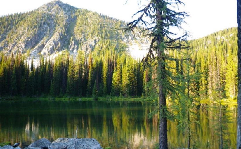
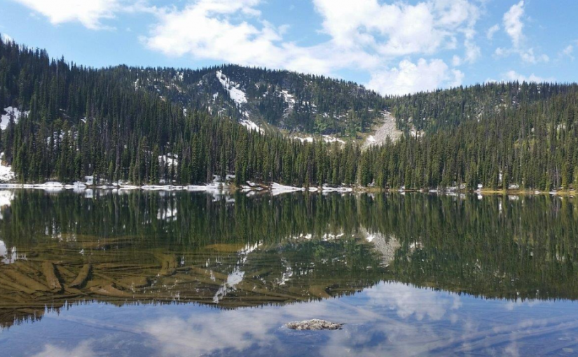
Oliver (Johny Connors) Lake

This is a small site located in a scenic alpine basin with a shallow lake. There is a short trail on the east side of the road to the shallow lake and around it. Access can also be gained to the surrounding ridges, although there are no developed trails.

Driving Directions:From the community of Crawford Bay, head south for 200 meters on Highway3A, and then turn left on Oliver road just past the Gray Creek store. Follow this road for 300 meters and then turn right, crossing Grey Creek. Follow this road , now called Anderson road, for 1.3 km, turning left at the junction. Follow the main Grey Creek road 15.0 km to the campsite.

Ross Lake Trail

The Ross Lake trail offers a sub-alpine experience for the whole family. This is a short,but rough, trail that ends at a small alpine lake and provides access to the surrounding ridge system. The primary activities are hiking, fishing, and camping.

Driving Directions:From the ferry terminal at Balfour, travel west on highway #3A for 2.7 km to Beggs Road on the right. Keep to the left, and follow Beggs road for 0.8 km to a fork in the road. Stay left and drive 0.3 km to Redfish Forest service road on the left (cross over Laird Creek). Follow Redfish forest service road (keep right at the junction with the Redfish Research Area) for 10.3 km to a bridge. Drive across the bridge and drive the remaining 1.0 km to a road that leads to the right. The bridge across this road is damaged, so you will need to walk the remaining portion of the road to the trailhead. The trail begins on an old skid trail to the north-west.

Six Mile Lakes

Six Miles Lake site is a series of three connected sub-alpine lakes. A rustic 3.0 km nature trail on the west side of the lake offers views of the lakes and a pleasant walk through the forest. The trail head is just south of the recreation site on the west side of the road. The end of the trail rejoins the road past the furthest lake, and you can walk back along the road to the trailhead. This is the headwaters of a domestic – use watershed. Please respect the lakes and creeks.

Driving Directions:Travel north from Nelson on highway #3A for 8.0 km to Six Mile Lakes road. Follow Six Miles Lakes road for 10.0 km to a fork in the road. Then take the right fork for 3.0 km to the recreation site . The road is suitable for a 2wd vehicles, although the last 3.0 km are very rough in sections.

(source: Recreation Sites and Trails )

In the winter the six mile lakes circuit is popular with snowmobilers connecting the road across to Lemon creek in the Slocan Valley. Nelson Snowgoers for more information

There are some ski touring destinations in the area as well.

K&S Railway ( Sandon )

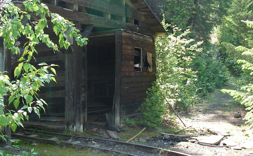
Site Description:The K & S Railway Trail can be done in many ways. No matter how you do it, be sure to give yourself time to poke around the old mine sites, admire the rock work and pause to take in the views. From Sandon to Payne Bluff is an easy stroll. To make it easier, drive the first 2.3 km and then it is only 3.8 km to Payne Bluff. If you have a way back from Three Forks, you can take the old pack trail, down to the highway from Payne Siding. If you want a bit of a workout, start at Three Forks. The first section of trail takes you to the old CPR grade. Follow this for 300 metres, then look for a sign that directs you to the left and up, onto the old pack trail. After a steep 1.4 km you are at Payne Siding. Turn left to Payne Bluff, which is 300 metres along the railway grade. Biking? The first 2.5 km from Sandon is a pleasant family bike ride. After this, the trail becomes single track and somewhat technical.

Driving Directions:Access to the Sandon end of the K & S: At the junction of Hwy 6 and 31A in New Denver, turn east onto Hwy 31A. Proceed for 8.3 km to the turn off to Sandon. This junction is known as Three Forks. Proceed 5.5 km to Sandon. Rather than going over the bridge, continue straight ahead on Reco Street for 500 metres to the “K & S Historic Railway Trail” interpretive sign and trail head. If you would like an easy family bike route, the next 2.3 km along the railway grade to the Altoona Mine, has a gentle grade and is wide. This section of the trail is also suitable for 2 wheel drive vehicles or a pleasant walk. Access from Three Forks to the K S: At the junction of Hwy 6 and 31A in New Denver, turn east onto Hwy 31A. Proceed for 8.3 km to the turn off to Sandon. Park at the trail head sign on Hwy 31A, 100 metres north of this junction.

( rec sites and trails ) NORTH SLOCAN TRAILS SOCIETY