Very popular as a ski touring destination. Typically about one hour ski tour to the cabin with no avalanche danger. There are a few tours accessible from the cabin including Baldy Rocks, Lightening Strike and Ripple Peak/Twin Lakes and lots of yo-yo skiing in moderate terrain.
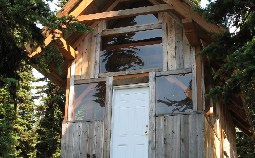
Site Description: The Ripple Ridge Cabin can be booked by going to www.rippleridge.ca There is a $10 fee per person for overnight use of the cabin. The cabin contains a wood stove, tables and benches, and a sleeping loft. It can sleep 6 comfortably, and 10 in a squeeze. Please note that no motorized vehicles are allowed on this road in the winter. A picnic table and fire ring were added in October 2010.
Driving Directions: From Salmo take Highways #6 and #3 southeast for 37 km to Stayleep pass at Bridal Lake. Park in the plowed area on the left side of the highway. From the junction of Highways #3 and #3A north of Creston take highway #3 northwest for 42.5 km to the pass at Bridal Lake. Park in the plowed area on the north side of the highway. From the parking area, cross the highway towards the south. The gravel road accessing the cabin begins immediately to the right of the Highway’s maintenance yard. Take this road 3.2 km to the top of the ridge where it levels off and before it drops into the next valley. Look for the trail into the cabins on the right at this point. The old cabin lies about 200 metres from the access road, and the new cabin about 100 metres further. high clearance 2WD required.
Winter Access: Park in the parking lots on the north side of the highway and cross the highway on the west side of the parking lot to access the summer road. Follow the trail up until it levels off and before it drops into the next valley. Look for the trail into the cabin on the right at this point.